AERIAL DRONE MAPPING
ENGINEERING SURVEY
CADASTRAL SURVEY
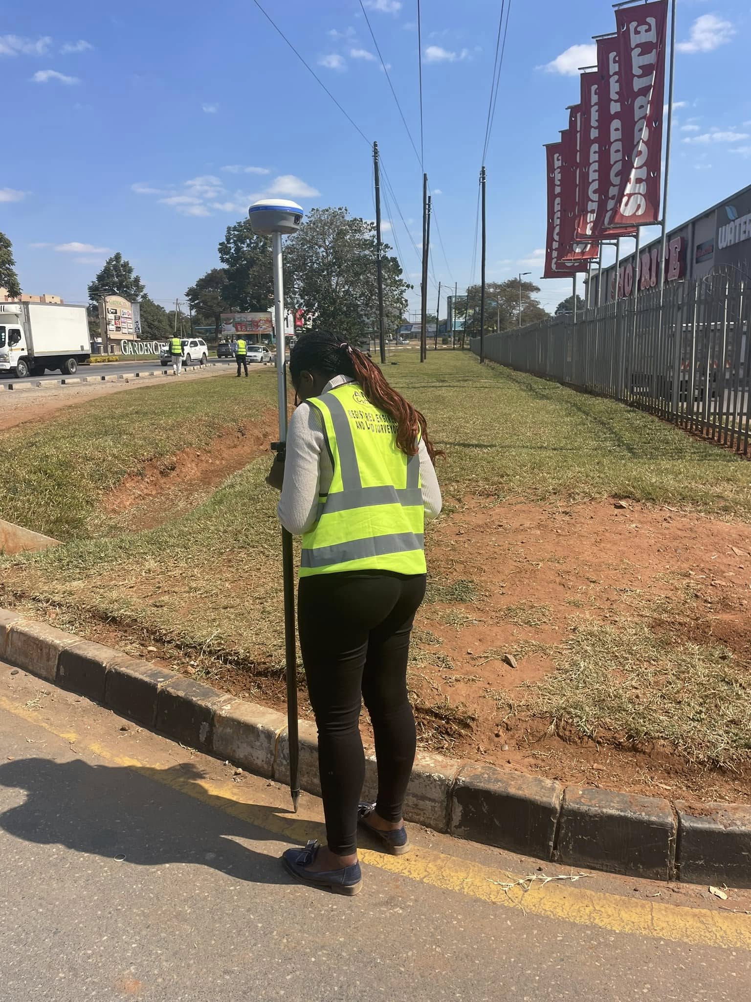
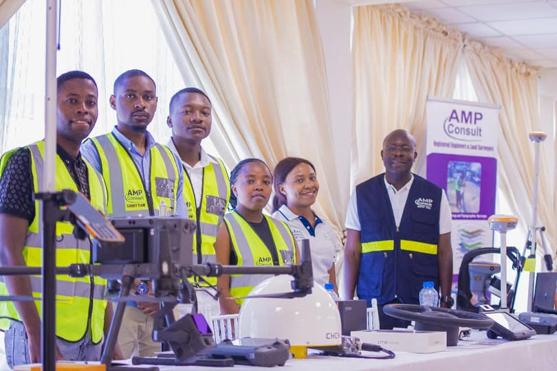
As we push the boundaries of what’s possible, through our staff and technology at our disposal we ensure that every step forward is a step towards a sustainable and vibrant planet.
Building Success From The Ground up!
At AMP Consult, we believe that every great project begins with solid groundwork. Our expert team specializes in land surveying and topographical mapping to provide you with the most accurate data. Whether you're planning a residential development or a large-scale commercial project, trust us to give you the foundation you need for success.
Advanced Mapping and Positioning Consultants's
About Us
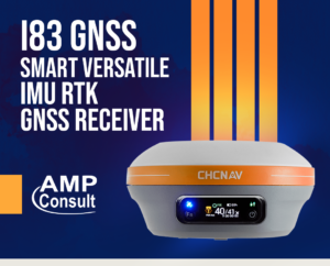
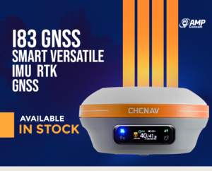
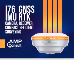
A company with technical expertise in Engineering & Cadastral Surveying, Aerial Mapping and GIS. With over 15 years experience, we have invested in state-of-the art equipment ranging from GNSS Equipment, Drones, Terrestrial Scanners and appropriate software.
We harnessing the power of advanced technologies like LiDAR and GNSS, Our surveys today' present a vivid three dimensional world, unleashing possibilities that once seemed impossible. We help shape a future where development coexists harmoniously with our natural surroundings.
As we push the boundaries of what's possible, through our staff and technology at our disposal we ensure that every step forward is a step towards a sustainable and vibrant planet.
Years Experience
Satisfied Clients

Know the boundary of your Land Today
For Further Inquiries Call
(+260) 977488032
Plot A573 Off Mutumbi Road, Foxdale, Foxdale, Zambia







Our Services

Areial Drone Mapping

Engineering Survey

Cadastral Survey


